
Mobile Slam 3D Laser Scanner
Tersus MVP S2
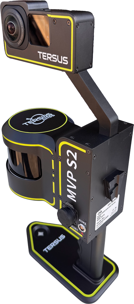
Precision Mobile Mapping, Without Compromise
The Tersus MVP S2 is built for professionals that demand the highest levels of precision, repeatability and confidence with their data. Designed for both handheld and backpack operation, the S2 adapts to the environment, whether you’re moving through tight interiors, covering long corridors, or mapping large outdoor areas efficiently.
Built for rapid deployment and repeatable capture, the S2 enables teams to collect high-quality 3D data efficiently while maintaining full control over accuracy and validation at every step along the way.
Need quick capture for everyday fieldwork?
Precision-Driven SLAM.
Built for Real Work.
At its core, the MVP S2 uses a robust RTK SLAM and multi-sensor fusion algorithm designed to maintain stability through indoor and outdoor transitions, consistent alignment across long paths and complex environments. The result is data you can trust for engineering, surveying, and infrastructure applications where accuracy is non-negotiable.
Fast capture routines paired with efficient on-premise processing move teams from field collection to usable deliverables far faster than traditional terrestrial scanners or bulky wearable systems, without sacrificing precision. The S2 operates seamlessly with RTK or in GNSS-denied environments and allows users to easily collect control points along the scan path, ensuring accurate georeferencing wherever the work takes place.
Redefining What’s Possible in Reality Capture with Tersus MVP S1 and S2 SLAM LiDAR Webinar Recording
3D scanning and SLAM LiDAR technologies are evolving quickly, with new systems entering the market every year. While many solutions promise fast reality capture and digital twin workflows, the real challenge is understanding which tools deliver reliable and repeatable results, and where they fit best in real-world projects.
In this recorded live webinar, we explored practical 3D scanning workflows using the Tersus MVP S1 and MVP S2 RTK SLAM LiDAR scanners. We discussed how different scanning systems are designed for different types of environments, what separates lightweight handheld scanners from higher-performance mobile platforms, and how to determine the right tool for your job.
Mobility Without Compromise
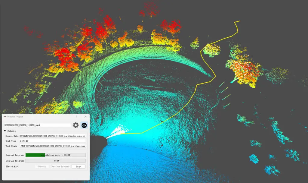
Data Processing With No Cloud Credits, Or Extra Fees
All data processing, storage, and viewing are handled locally, with no reliance on cloud services. The MVP S2 includes a dedicated local viewer, allowing teams to review, share, and validate data internally while maintaining full control over data governance, security, and compliance.
Simplify data processing and collaboration without hidden fees.
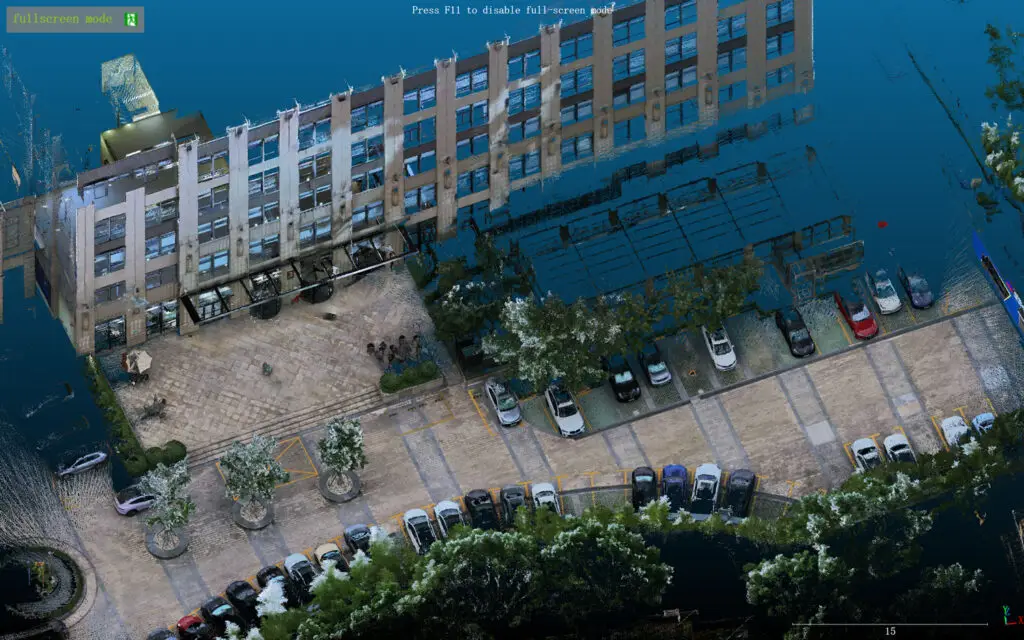

Precision Field Capture
Efficient Office Processing
Confident Delivery
Innovation in Geospatial Technology
Experience the Tersus MVP S2 in Action at Red Rocks
The Tersus MVP S2 blends LiDAR, GNSS, and advanced SLAM technology to create centimeter-accurate 3D point clouds, capturing the iconic Red Rocks Amphitheater in stunning detail.
See how portable, high-precision mapping is taking geospatial innovation to new heights.