


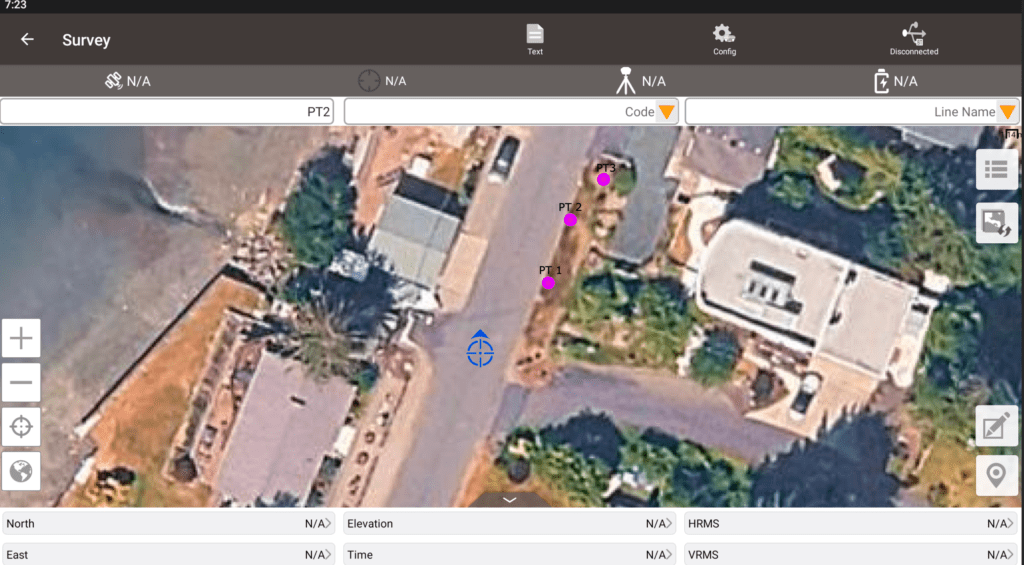
Online Map
Stakeout File Overlay
Visualization Settings
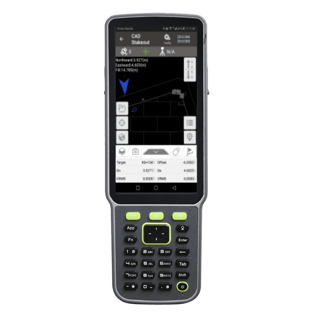
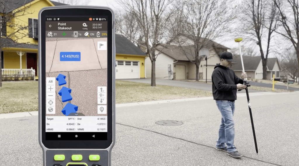
3D Visual Stakeout