Bring Survey-Grade Precision to Your GIS Workflows
DCG specializes in integrating survey-grade GNSS technology into Esri field workflows. With extensive experience supporting ArcGIS Field Maps, Survey123, QuickCapture, and ArcGIS Online, we understand the technical and operational challenges of collecting authoritative spatial data. Through our partnership with Tersus GNSS and Esri, we provide precision-driven solutions that elevate everyday GIS data collection into a high-accuracy, enterprise-ready workflow.
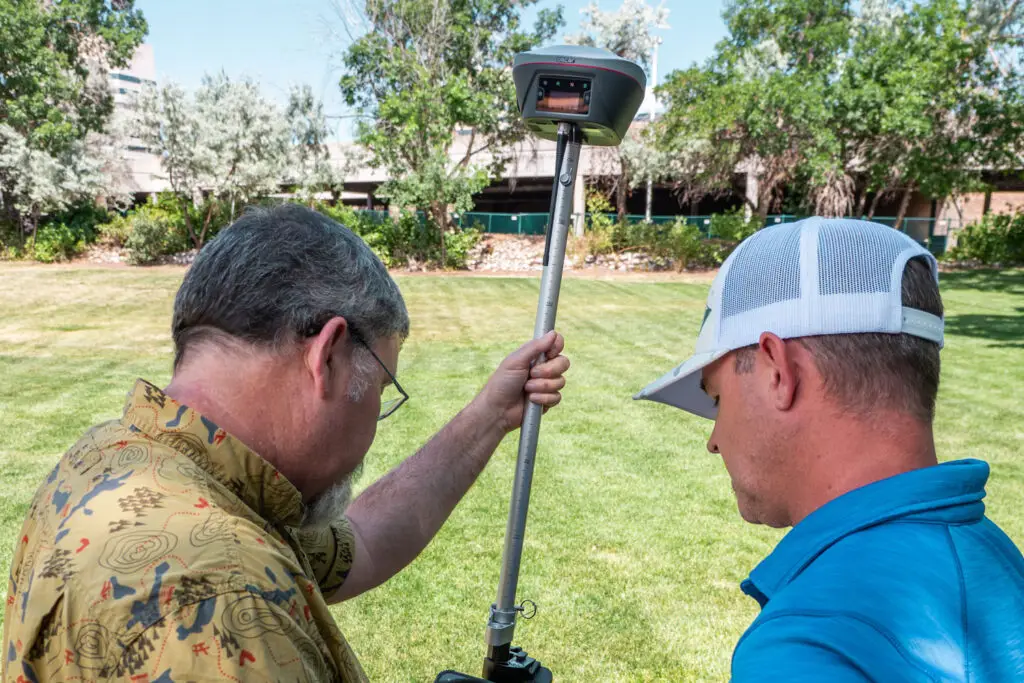
Tersus GNSS Smart Receivers all provide the highest level of accuracy, built around Tersus’ Extreme RTK Engine, they keep delivering precise RTK fixes in heavy canopy, urban interference, and remote terrain, where conventional GNSS receivers are pushed to their limits.
Tilt Compensation
Focus on data collection, whether your pole is level. For those hard to reach assets or when safety matters.
Elevation & Heights
Accurately capture elevations as height above the ellipsoid (HAE) or as mean sea-level (orthometric) heights, providing real-world 3D coordinates with confidence.
Multi-Use Flexibility
The strength of Tersus smart receivers is their flexibility! They work seamlessly with Esri Field Apps for everyday GIS tasks, but they also include Tersus’s Nuwa software for advanced workflows like logging static data for drone PPK flights (RINEX), cut-and-fill earthwork calculations, advanced COGO functions, grid-to-ground transformations, GNSS calibrations for local coordinate systems, and much more.
Offset Shots
Safely capture hard-to-reach assets using Laser Tech rangefinders. When paired with Tersus receivers, these measurements integrate directly into Esri field apps, enabling precise offset positioning and expanding what’s possible in challenging collection environments.
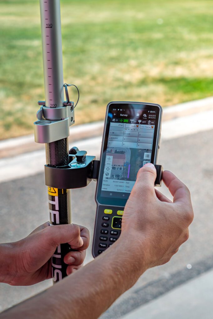
A GNSS System That Keeps Up With You
This is a full easy to use survey software in the palm of your hands to augment any measurement challenges you run into in the field. Tersus puts the power and precision in your hands, finally, a GNSS system that doesn’t hold you back!
NTRIP (Real-time network corrections, RNT, VRS) is fully supported with all Tersus GNSS smart receivers. However, if you are working in remote environments where cellular data is not available, Tersus GNSS receivers support your needs for real-time corrections even in remote areas.
NTRIP (RTCM, CMR, CMR+) Connect to existing correction networks over the internet for real-time, survey-grade positioning.
UHF Radio With two Tersus smart receivers, setting up a base station and broadcasting corrections to a rover is fast, intuitive, and works even in remote environments.
Tersus Advanced Positioning (TAP) Access global real-time corrections through Tersus’ Precise Point Positioning (PPP) network, delivering 1–3 cm accuracy anywhere. This subscription service simplifies field operations and reduces reliance on local GNSS infrastructure by providing corrections via an L‑band satellite link.
Who Benefits?
Well, if you’ve made it this far, it’s clear you demand higher-accuracy with ArcGIS Field Apps. Desert Creative Group’s team has been at the forefront of GNSS and geospatial technology since the mid-1990s, helping organizations capture, process, and integrate field data long before these tools were standard. Our team brings decades of hands-on experience, deep technical expertise, and a proven track record of solving real-world positioning challenges, making us the partner GIS professionals trust to turn complex field data into actionable insights.
We’ve partnered with every industry you can imagine, and some you probably haven’t, helping organizations solve both simple and complex high-accuracy GIS challenges with confidence and precision. We’re happy to lend our expertise to you!
Utilities & Infrastructure
Electric transmission and distribution, gas, water, sewer, wastewater, fiber, and pipeline networks — manage assets, inspections, maintenance, and compliance with confidence.
Transportation & Roadways
Document intersections, corridors, highways, and roadway features for design, as-built verification, and safety compliance.
Oil & Gas
Site documentation, scan-to-BIM workflows, earthwork and volumetric calculations, as-built conditions, construction inspections, and renewable energy projects including solar, wind, and hydro.
Facilities & Asset Management
Upstream and downstream pipeline mapping, facility documentation, inspection, maintenance, and regulatory compliance.
Drone & UAS Operations
Indoor mapping, building documentation, mechanical and utility rooms, HVAC systems, and long-term asset tracking.
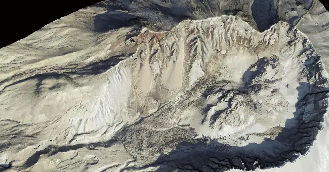
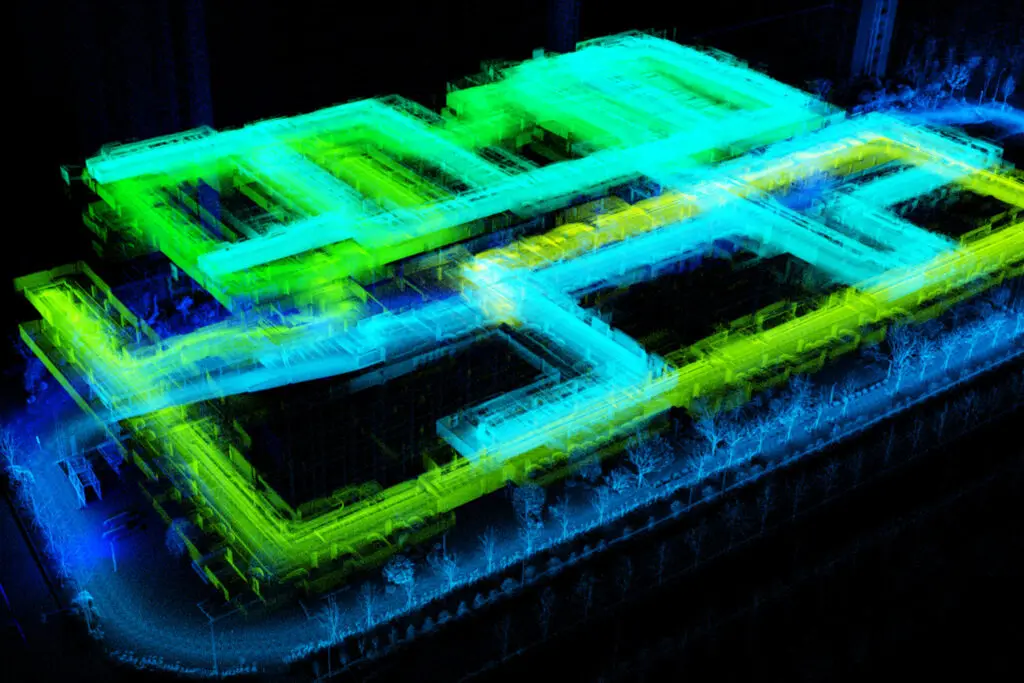
3D Modeling
RTK-enabled aerial mapping, GCP placement, and high-precision photogrammetry data integration.
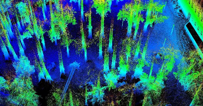
Forestry, Environmental & Cultural Management
Tree inventory, DBH measurement, canopy analysis, carbon verification, digital forest twins, water quality monitoring, archaeology, cultural preservation, natural resources management, and environmental compliance initiatives.
Don't Know Where to Start?
New to high-accuracy GIS and buried in a sea of acronyms (RTK, RTN, VRS, HAE, MSL, RTCM, IMU, GNSS… the list goes on!) or frustrated with your current setup or performance?
Let’s solve your challenges together, contact us today to see how Tersus and Desert Creative Group can bring precision and reliable support to your workflows.