Handheld Slam Scanner
Tersus MVP S1
The S1’s Hardware is the Canvas
The Algorithm is the Art.
The Tersus S1 is built for organizations that need reliable SLAM technology they can trust, everywhere, every day, and across every team. Designed to deliver consistent, repeatable results in real-world conditions, the S1 empowers more people to capture high-quality 3D data without slowing down projects or relying solely on specialized crews.
At its core the S1 has a robust and refined SLAM algorithm focused on stability, residual control, and clean geometry, even in complex or visually challenging environments. The AI-driven RTK-SLAM Algorithm fuses LiDAR, vision, and GNSS data to produce photorealistic, well-aligned point clouds that support everything from rapid site documentation to advanced visualization and digital twin workflows.
Precision 3D Capture in the Palm of Your Hand
By reducing rework, and repeat site visits, the S1 helps teams move faster with greater confidence, turning 3D capture into a practical, everyday tool, all in the palm of your hand.
Intelligent Algorithms, Reliable Results
Tersus S1 sets itself apart from other manufacturers by using a fully proprietary, AI-powered SLAM engine, providing clean and precise data where open-source solutions fall short.
Density and Smoothing
3D Gaussian Splatting (3DGS)
Real-Time Feedback
Moving Object Filtering
Consistency Across Every Step
Better Data. Less Time.
Stage 1:
Field Capture
In the Field:
Real-time preview and quality checks prevent errors before you leave the site. The “Resume Scan” feature handles interruptions with ease.
Stage 2:
One Click Office Processing
In the Office:
One-click processing, optimization, and colorization in our intuitive desktop software.
Stage 3:
Delivery
For Your Clients:
Export to multiple industry-standard formats (JPG, LAS, RCP, PLY, etc.) that fit directly into your existing workflow.
Where the Tersus S1 Excels
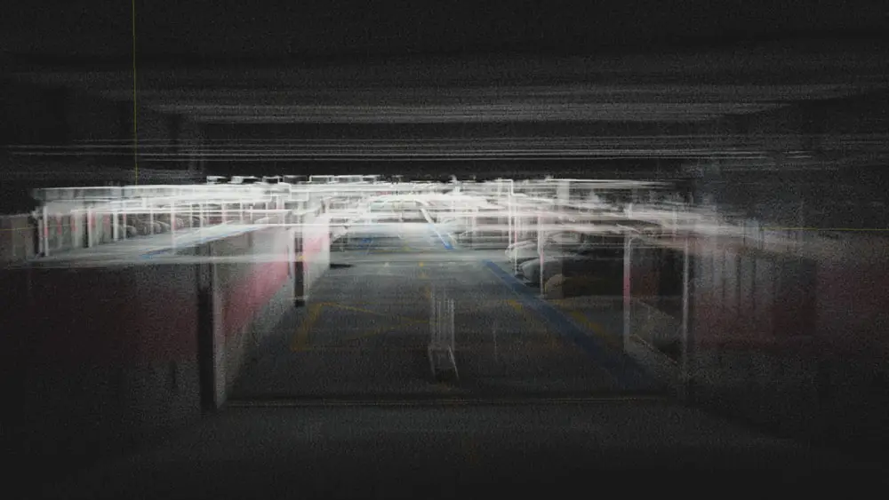
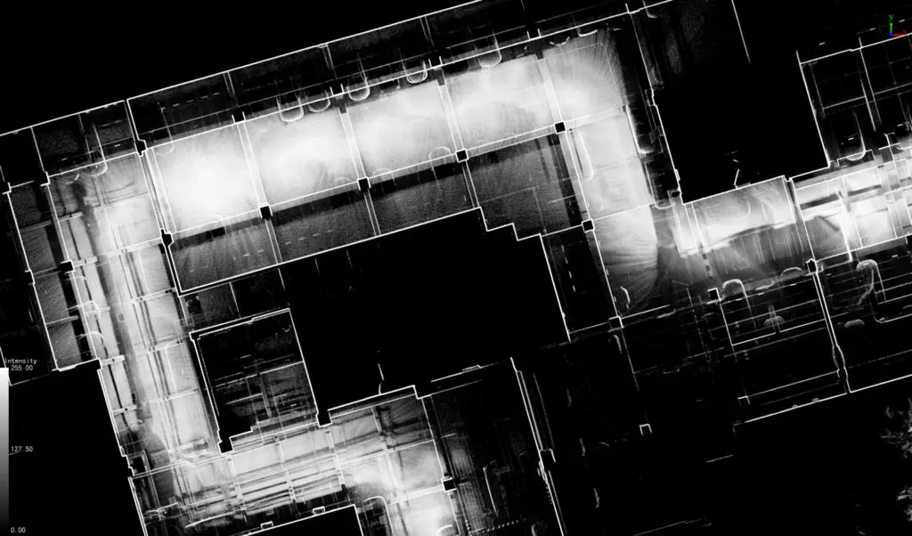
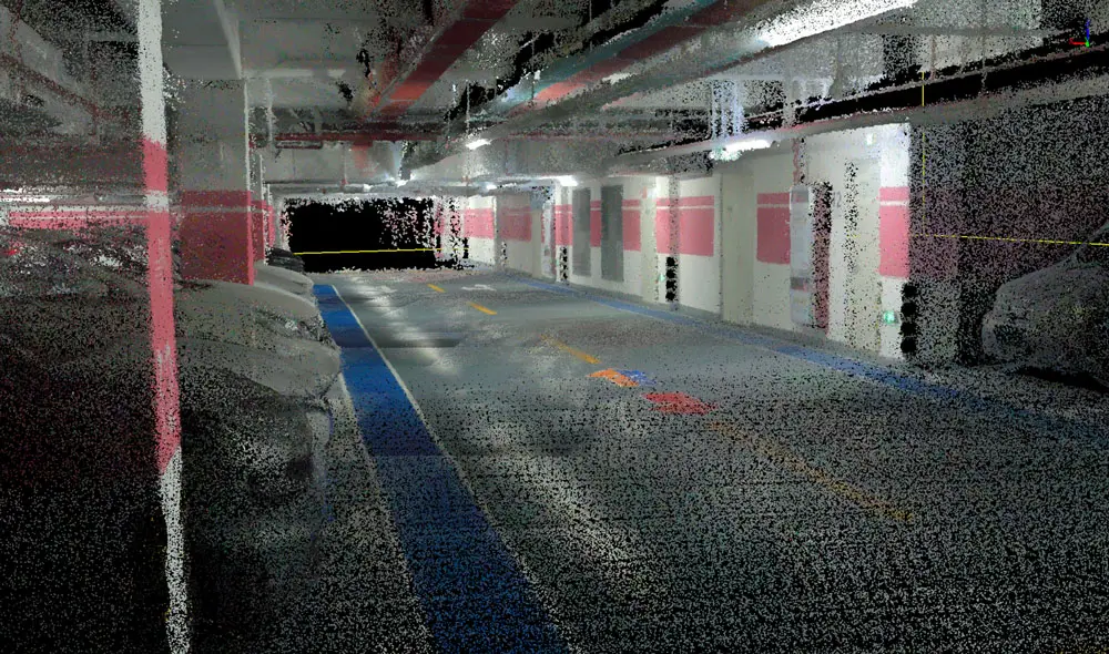
Complex Sites & Confined Spaces
Efficient walk-and-scan capture for stairs, corridors, multi-level interiors, and irregular spaces, with real-time feedback to identify gaps or shadowed areas before leaving the site.
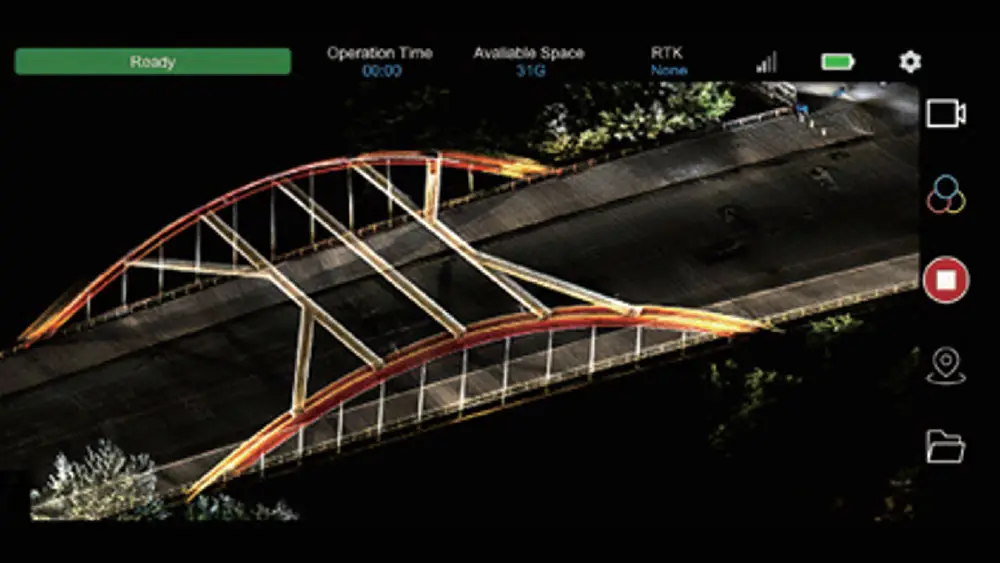
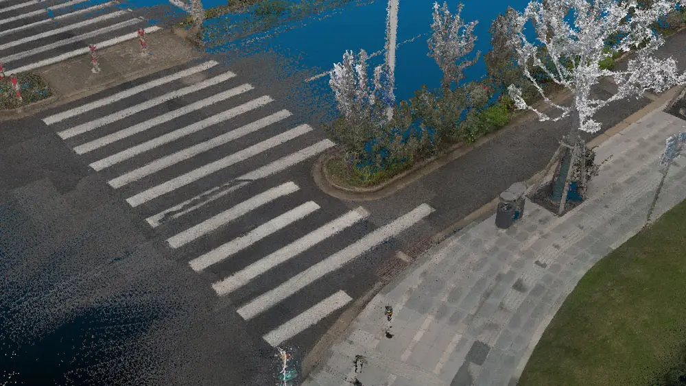
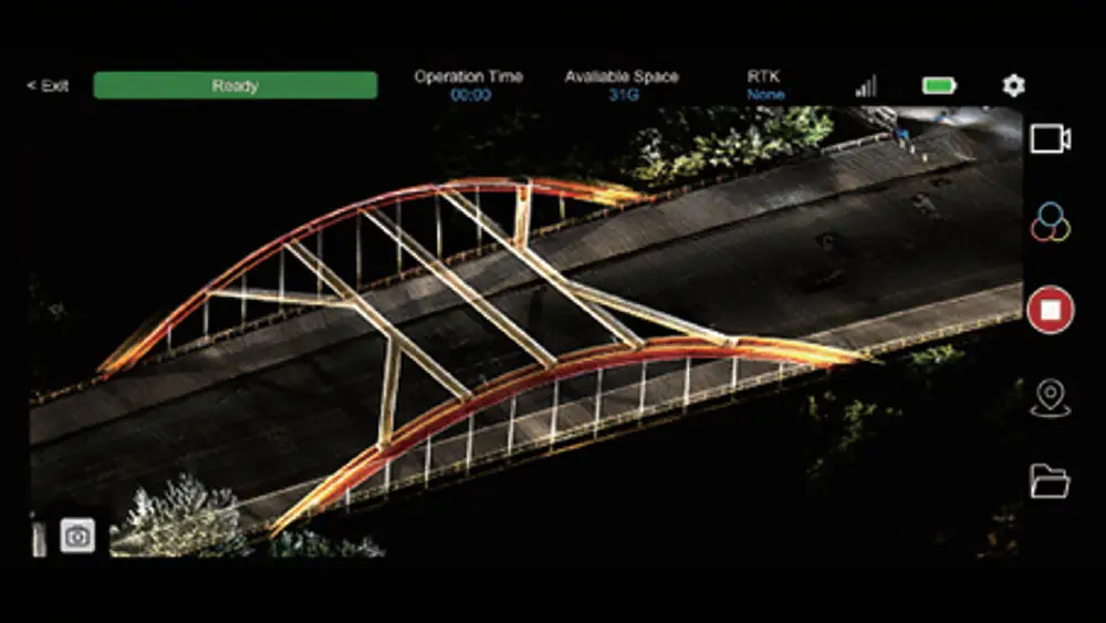
Roadways, Safety & Infrastructure
Rapid documentation of intersections, corridors, and ADA compliance areas, minimizing time in active traffic and reducing reliance on tripod-based terrestrial scanning. Mapping both above ground and below ground tunnels, utility corridors, mines and more.
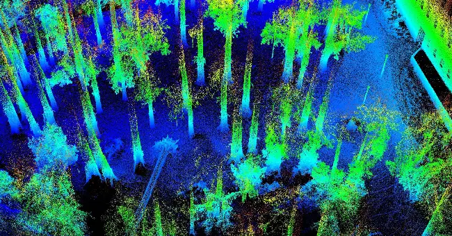
Forestry & Canopy Environments
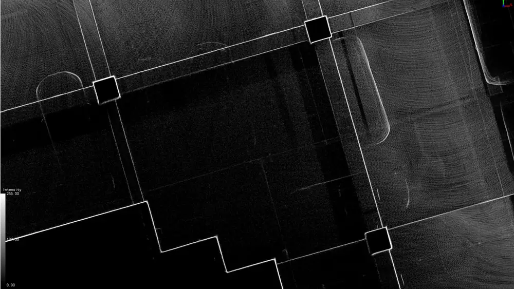
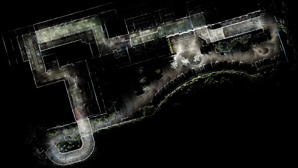
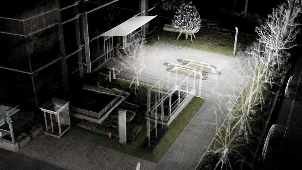
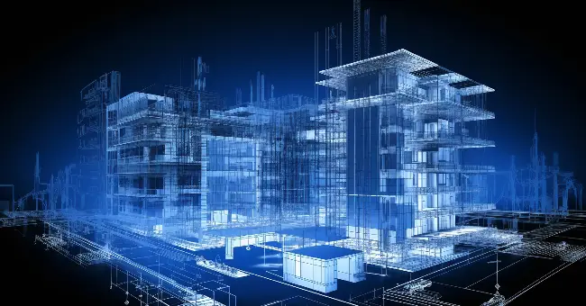
Indoor Mapping & Digital Twins
Fast indoor capture for BIM, GIS, and CAD, enabling building documentation, indoor navigation, and facility management across utilities, mechanical rooms, and infrastructure assets. The dual-camera system creates true-color point clouds, making species identification and environmental analysis faster and easier.
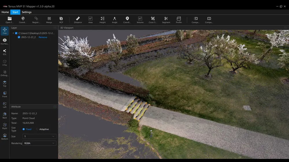
Visualization & Project Insight
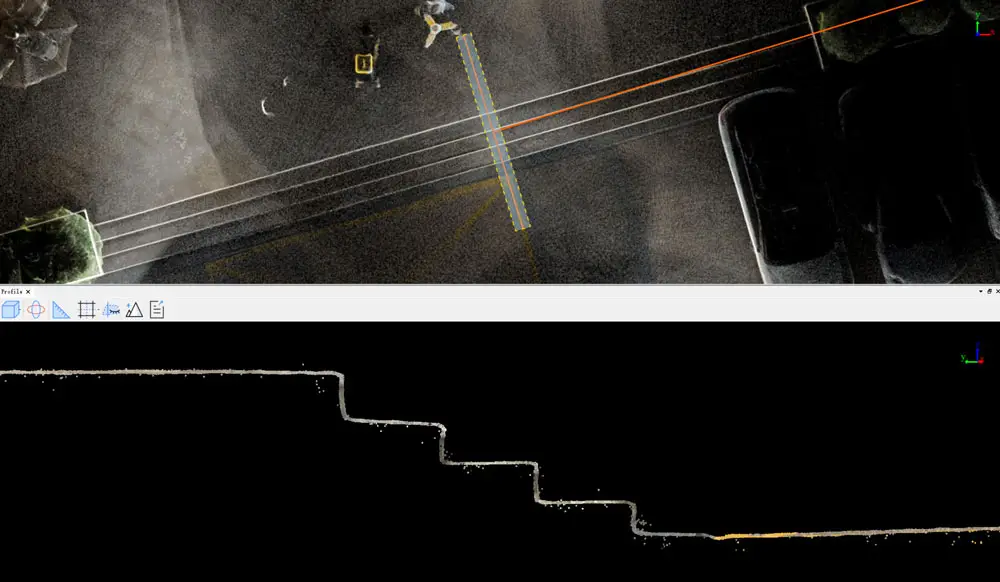
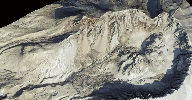
Volumetric and Earthwork
Specs
System & Hardware
General
| Weight: | 982g (Main Unit: 619g) |
| IP Rating: | IP5X |
| Operating Temp: | -20°c to +55°c |
LiDAR
| Point Rate: | 200,000 pts/s |
| Range: | Up to 70m @ 80% |
| FOV: | 360° H / -7° to +52°V |
Camera System
| Resolution: | Dual 48 MP |
| Sensor Size: | 1/2" |
Power
| Operating Time: | 150 min |
| Charging: | PD 30W Type-C |
Performance & Software
Processed Accuracy
| Point Thickness: | <1cm |
| Relative Accuracy: | <1cm |
| Absolute Accuracy: | <5cm |
RTK/GNSS
| Accuracy: | H: 0.8cm+1ppm V: 1.5cm+1ppm |
| Full Constellation Support: | Yes |
Software
| Mobile App: | Tersus MVP S1 Mapper (iOS & Android) |
| Desktop: | Tersus MVP S1 Studio |
Mapping Modes
RTK-SLAM, Multi-Sensor Fusion SLAM
Colorization
Real-Time and Post-Processing