Tersus MVP 100
Base-Station-Free Mobile Mapping System
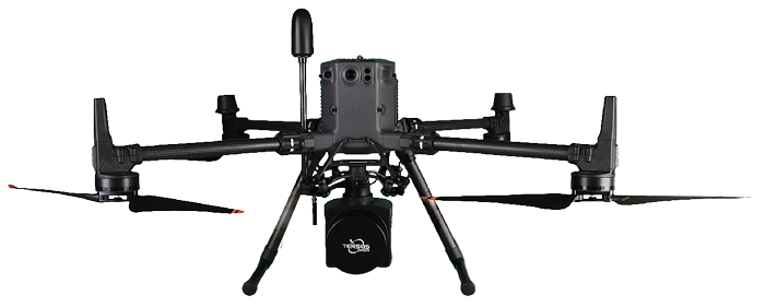
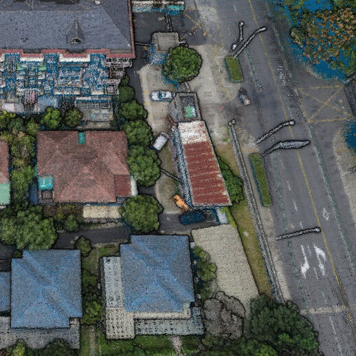
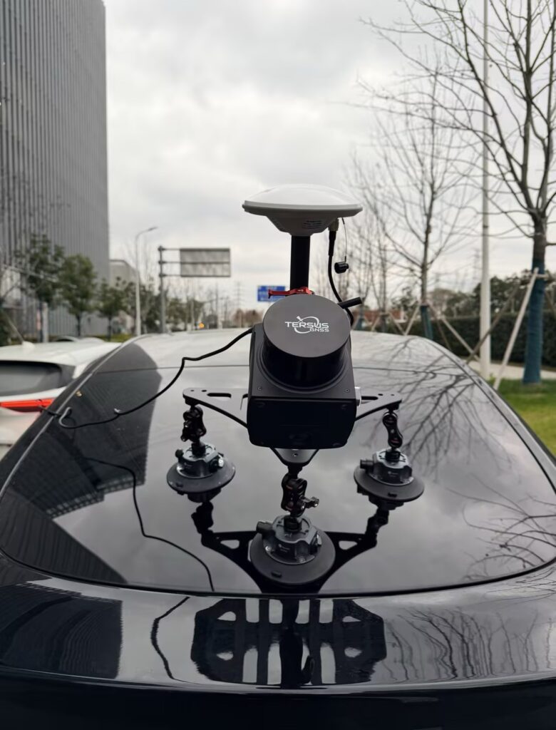
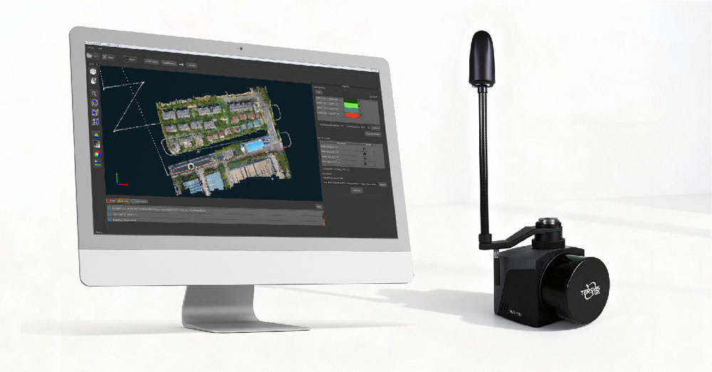
MVP is a mobile mapping system that can rapidly capture rich geospatial data while mounted on mobile platforms. As a cost-effective and high-precision mobile mapping application, it utilizes the high-performance GNSS-aided inertial navigation system (INS) and Tersus’s patented GNSS receiver. You can choose between two models available, both of which can meet different requirements in the field.
Fly Light. Map Right.
Survey-Grade Accuracy
Typical absolute point cloud accuracy of 3–5 cm with PPK, with LiDAR measurement accuracy of 10 mm and precision of 5 mm, delivering reliable survey-grade results.
Exceptional Penetration
With triple returns and a detection range of up to 300 m on MVP100 Plus, the system reliably extracts ground points beneath dense vegetation and complex terrain.
Lightweight & All-in-One
Weighing only 1.15–1.45 kg (including camera), MVP100 integrates LiDAR, camera, GNSS, IMU, onboard storage, and DJI SkyPort into a single compact unit.
Efficient Workflow
One-click processing in Tersus MVP Engine streamlines trajectory calculation, georeferencing, and point cloud optimization. TAP enables base-station-free mapping for faster, more flexible deployment.